Map collection
Our collection of maps is one of Northern Europe's largest. The oldest maps in the collection date from the 16th century, and the newest may have just come from the printing house.
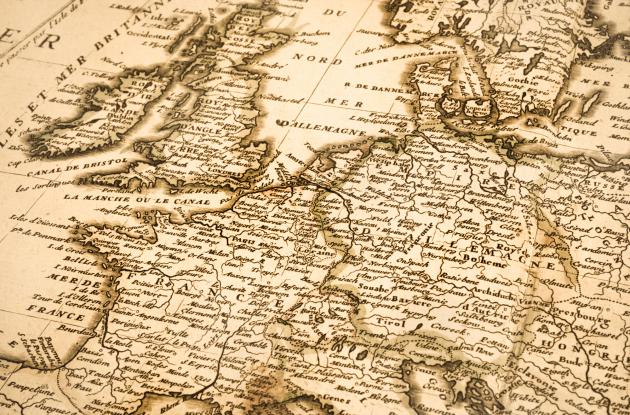
Photo: iStock
We collect and preserve maps and atlases of Denmark, or maps printed in Denmark, in the map collection. It contains the largest total documentation of Danish cartography and map production, and it is also one of Northern Europe's largest collections of maps.
The basic stem of the collection originally comes from the Danish royal family, and over the years it has been supplemented with gifts from private individuals and materials transferred from other institutions. The oldest maps date back to the 16th century. The collection is constantly growing with new purchases and Danish material for legal deposit.
The collection is generally divided into three main parts:
- Danish maps
- foreign maps
- atlas
The maps (in loose leaves) are arranged by geographical location, or by map series if many map leaves have been published in the same series. This applies to topographic maps, for example.
In addition, we have a number of special collections, including large atlases from the Danish royal family such as Frederik the Fifth's Atlas, but we also have a number of special collections of mixed origin, for example the Engineering Corps' collection of maps of foreign locations, Rink's collection and more. In addition, we also have significant collections of foreign topographic map series and geological maps.
How the maps are registered
The majority of the collection is arranged according to a system that consists of numbers separated by commas and hyphens. The systematics combines:
- Locality
- Theme
- Chronology
Find the complete overviews in our library system
1. Locality
All locations are divided according to a number system:
- Regional catalogue - Denmark
- Regional catalogue - rest of the world
Example: The country of Denmark has the overall code "1111". At locations that are parts of Denmark, extra decimals are added. Jutland will therefore have the code 1111.1, Vendsyssel 1111.11, et cetera.
That is, the smaller the locality, the more decimals are attached. For example, if you need to find a map of Brønderslev, search for Brønderslev number: 1111,111,221.
If this does not work, you go one step up in the system and remove the last number. That way, you search in a larger area.
The first four digits always signifies the country, and the next digits are separated by a comma three digits at a time.
2. Theme
Thematic maps are maps that have special topics: charts, geological maps, administrative boundaries, historical maps, et cetera. There are a total of 40 themes.
Example: History has, for example, theme code 14. A historical map of Denmark is therefore classified as 1111-14
3. Chronology
As a third term we have a year. Note that the year indicates the year shown on the map, and not the year the map was printed.
Example: A map of Denmark which shows the historical situation in, for example 1750, has the code KBK 1111-14-1750 / 1 or / 2. The number after the slash is a serial number that has nothing to do with the systematics, but is used for identification purposes. KBK stands for "Det Kgl. Bibliotek's Kortsamling".