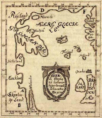
This description of Greenland from 1669 by Biørn Jonsen of Skarsaa on Iceland is primarily known for its handwrittten maps, of which the so-called Skálholt Map is the most famous. The Skálholt Map, whose first version dated to 1570, is the earliest attempt to combine cartographic knowledge with the stories conveyed in the Vinland sagas.
An addendum in Latin gives a description of Greenland by Theodor Thorlacius.
GKS 2881 4to. Paper, 25,8 x 21 cm. 17 ff.