Toggle navigation
Digital collections
Dansk
Fritekst
Titel
Ophav
Person
Lokalitet
search for
Search
Digital collections
Digital collections
Småtryk
Partiprogrammer
Varehuse
Judaistisk Samling: Tidlige & sjældne tryk
Kort & Atlas
Atlas
Kort
Særudgivelser
1914-1920
Aalborg Luftfotos rutekort
Ariel/Dansk Luftfotoskortbøger
Deutsche Heereskarte Dänemark 1:100 000
Deutsche Heereskarte Dänemark 1:25 000
Fremmede magters kort over Danmark
Historisk Kronologisk Samling, udtaget kort
Håndtegnede kort
Ingeniørkorpsets Samling
Insurance plan of Kjøbenhavn (Copenhagen.) Danmark Sept. 1908
Jens Sørensen Søkort (Danmark)
Lauge Kochs Samling (Grønland)
Odense og Dana Luftfotos kortbøger
Om: Kartografen Johannes Mejer
Oversigtskort til seriekort
Pontoppidans Atlas 1730 (Danmark)
Pontoppidans Atlas 1767-1781 (Danmark)
Rinks Samling (Grønland)
Rytterdistriktskort (Danmark)
Samling af ældre kort over nordiske områder bla. af Gerhard Schøning
Seriekort Slovakiet, Tjekkiet, Ungarn, Østrig 1880-1939 1:75 000
Sterms pastorat- og sognekort (Sjælland)
Sterms Topographie (København)
Søkort, Nordens farvande
Tegners minorerede matrikelkort (Danmark)
Vestindien
David Simonsens Håndskrifter
Orientalsk Samling: Tidlige tryk
Vesterlandske håndskrifter
Trykte bøger
David Simonsens Arkiv
Det Kgl. Biblioteks Arkiv
Judaistisk Samling: Håndskrifter
Orientalsk Samling: Håndskrifter
Dansk Folkemindesamling
Billeder
Search Constraints
« Previous |
1
-
30
of
306
|
Next »
Sort by Titel
Titel
Ophav
Tidligst
Senest
Number of results to display per page
30 per page
30
per page
50
per page
100
per page
View results as:
List
Gallery
Masonry
Search Results
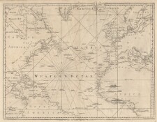
A Chart of the Atlantic Ocean I. sheet
A Chart of the Atlantic Ocean I. sheet
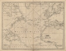
A Chart of the Atlantic Ocean I. sheet
A Chart of the Atlantic Ocean I. sheet
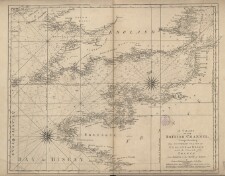
A Chart of the British Channel; comprehending the Southern Coasts of England and Wales
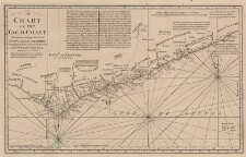
A Chart of the Gold Coast, wherein are distinguish'd all the Forts and Factor...
A Chart of the Western Coasts of Spain, Portugal and Barbary, from Cape Finisterre to ...
A chart of the Antilles, or, Charibbee, or, Caribs Islands with the Virgin Isles
A complete chart of the West Indies : index map
A map of the English, French, Spanish, Dutch & Danish Islands, in the West Ind...
A map of the West-Indies & c. Mexico or New Spain ...
A new Map of the West-Indies or the Islands of America in the North Sea
A new chart of the West Indian Islands
A new chart of the West Indian Islands
A new chart of the West Indian Islands
Accurater Geometrischer Grundriss, von dem Norder Haven auf St. Croix
Accurater Geometrischer Grundriss, von dem Norder Haven auf St. Crux ...
Accurater Geometrischer Grundriss, von dem Norder Haven auf St. Crux ...
Amerique Septentrionale : divisée en ses principales parties, ou sont distingués les v...
Archipelague du Mexique
Bagside til: Kort over St. Thomas og St. John, Kort over St. Croix
Barbariæ et Guineæ maritimi à Freto Gibraltar ad Fluvium Gambiæ cum Insulis Salsis Fla...
Bethlehem old works
Blessing med Ludvigsminde
Caarte van Westindien Soo Vaste landen als Eylanden
Caarte van Westindien soo Vaste landen als Eylanden
Cane Bay
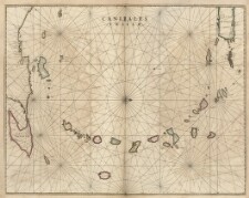
Canibales Insulæ
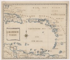
Caraibische inseen
Carta Esferica que Comprehende una Parte de las Islas Antillas las de Puerto Rico Sant...
« Previous
Next »
1
2
3
4
5
…
10
11